Temperatures will begin to drop this week before the latest storm will pummel Southern California as neighborhoods with burn scars are warned to brace for possible flash flooding, meteorologists forecast on Wednesday.
As of Wednesday, the latest storm system was spinning offshore, approaching the West Coast, bringing light showers in the Pacific Northwest and a chance of showers in San Luis Obispo and Santa Barbara counties.
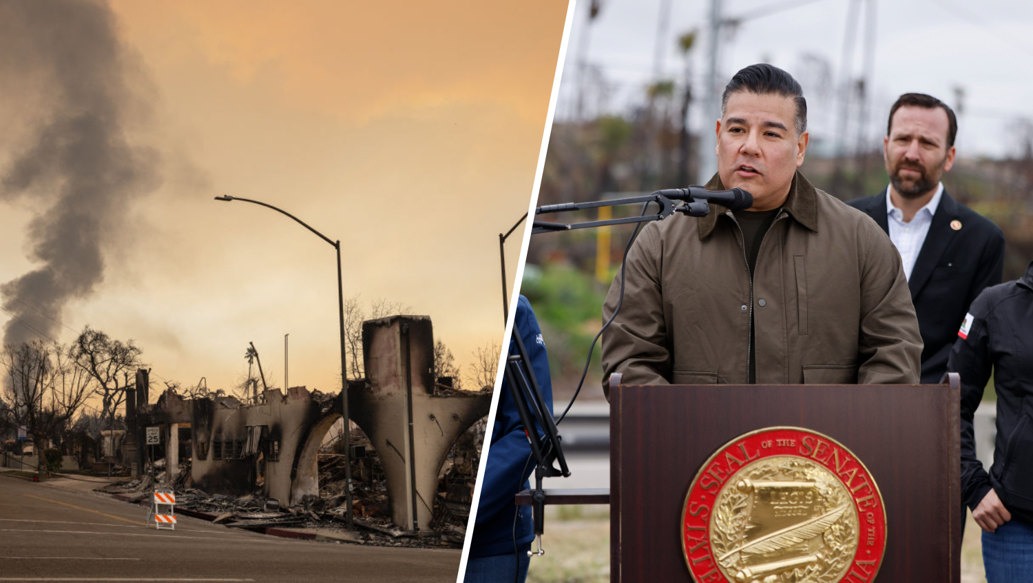
An evacuation warning was issued in the city of Los Angeles near the Palisades, Hurst and Sunset fire burn zones and will last through 11 a.m. Sunday due to possible debris flows, the LA Fire Department said. Officers with the LAPD are expected to visit homes in high-risk areas.
While there will be a slight chance of showers Wednesday night in the LA region, the big change will arrive in the coming days with increasing clouds leading to a cooldown in the 60s and 70s.
Before steady rain hits Southern California by the weekend, homeowners should prepare by gathering sand bags and checking gutters and drains.
Drivers are also urged to check the condition of their vehicle and replace windshield wipers and tires if needed.
Good afternoon, this is our lasted rain forecast. We have good confidence in Thur/Thur night w a front passage, but low confidence Fri-Sun. This is because a closed low brings rain chcs Fri-Sun & models struggle greatly with this pattern. Stay tuned, as things may change. #carain pic.twitter.com/GVyFeWVQkW
— NWS Los Angeles (@NWSLosAngeles) November 12, 2025
Thursday
By Thursday afternoon, the storm will move down from the Central Coast to Southern California. Both Los Angeles and Ventura counties facing a 70% chance of showers or rain.
“At around 11 a.m. Thursday, we’re still looking at a mix of sun and clouds, and then the clouds will continue to spill,” NBC Los Angeles Meteorologist Stephanie Olmo said. “As we continue through the afternoon and the evening hours, we’ll have some light showers, breaking out around that time, but (it’ll be) sort of this first push. This first wave will start to move on Thursday night.”
The peak of the storm will likely be Thursday night as the storm can bring up to 2 inches of rain and possibly 4 inches of rain in the mountains and hills. Forecasters said rain could fall at a rate as high as 0.75 inches per hour, although higher rates are possible if any thunderstorms develop, according to the National Weather Service.
The incoming rain system will also likely lead to debris flows in foothills areas, especially in the recent burn areas of Altadena and the Pacific Palisades.
“I wouldn’t be surprised if the National Weather Service issued flood watches, beginning today,” Olmo said.
Friday
When people wake up Friday morning, they may see the impact of overnight rain across the region, whether it’s debris flow or the overflowing of rivers or creeks.
The overnight rain will also create slippery and dangerous road conditions for morning commuters Friday as authorities urge drivers to slow down and give themselves extra time to get to their destinations. Commuters should also avoid flooded roads by turning around or waiting it out.
Another big change to the weather Friday will be a drop in temperatures as all Southern California neighborhoods will likely see highs in the mid-60s and lows in the mid-50s.
While rain may appear to be tapering off Friday, the second round of steady rain will arrive Saturday.
Saturday
While precipitation from Thursday and Friday may be isolated and scattered, Saturday rain will be steady, affecting all hours of the day.
Authorities may have to prepare for swift water rescues as rivers and creeks will rise even further, with a higher chance of debris flow, according to NBCLA Meteorologist Belen de Leon.
By Sunday, the latest storm system will start to move away from the region.

This story uses functionality that may not work in our app. Click here to open the story in your web browser.
![]()
Want more insights? Join Working Title - our career elevating newsletter and get the future of work delivered weekly.
